NASA Photos Show How Much of Colorado Burned in East Troublesome, Cameron Peak Fires
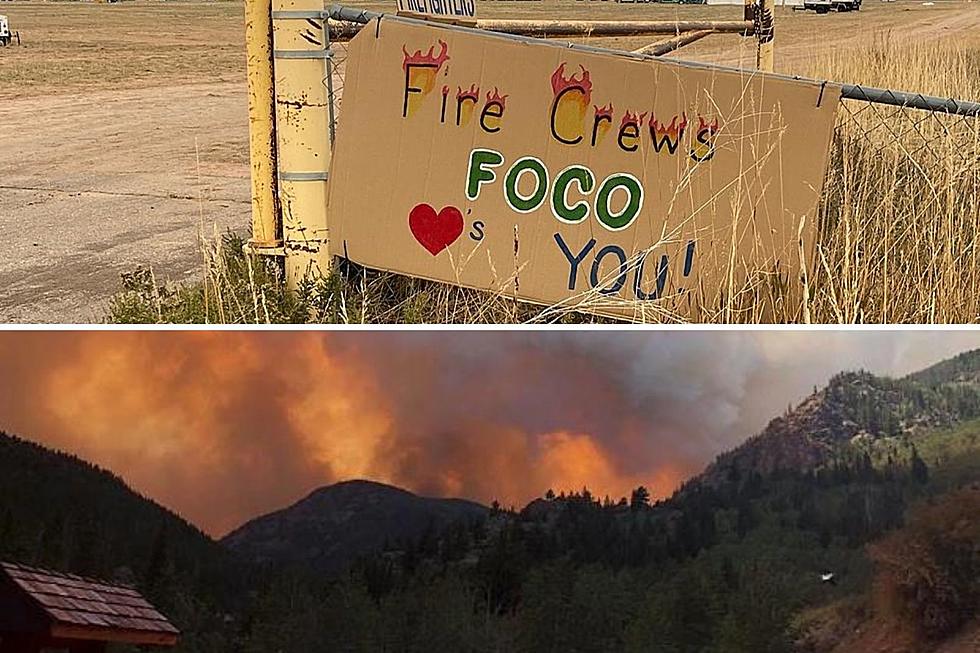
On Monday, November 1, Larimer County evacuees were able to return home, as Cameron Peak Fire reached 85 percent containment. After the snowstorm last week, fire crews have finally been able to turn a corner in Colorado's worst wildfire season in history.
Since Cameron Peak Fire began burning west of Fort Collins mid August, hundreds of homes and properties have been destroyed, while we dealt with dark, ash and smoke-filled days on the Front Range.

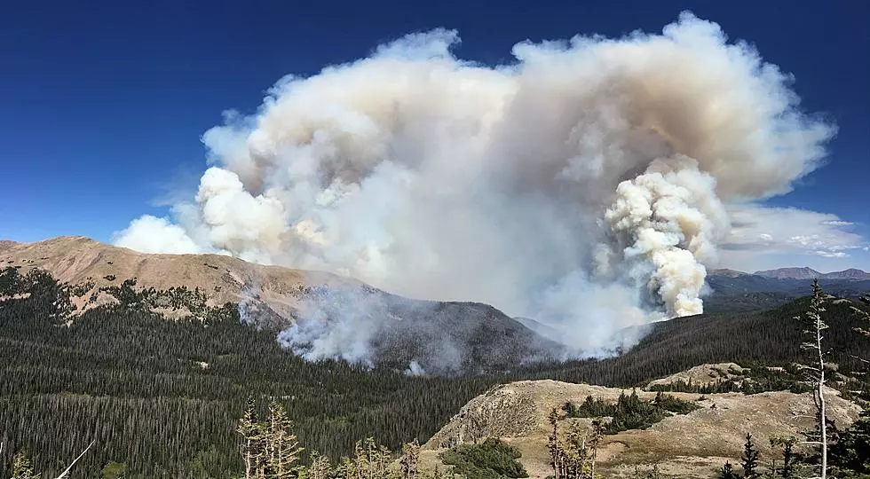
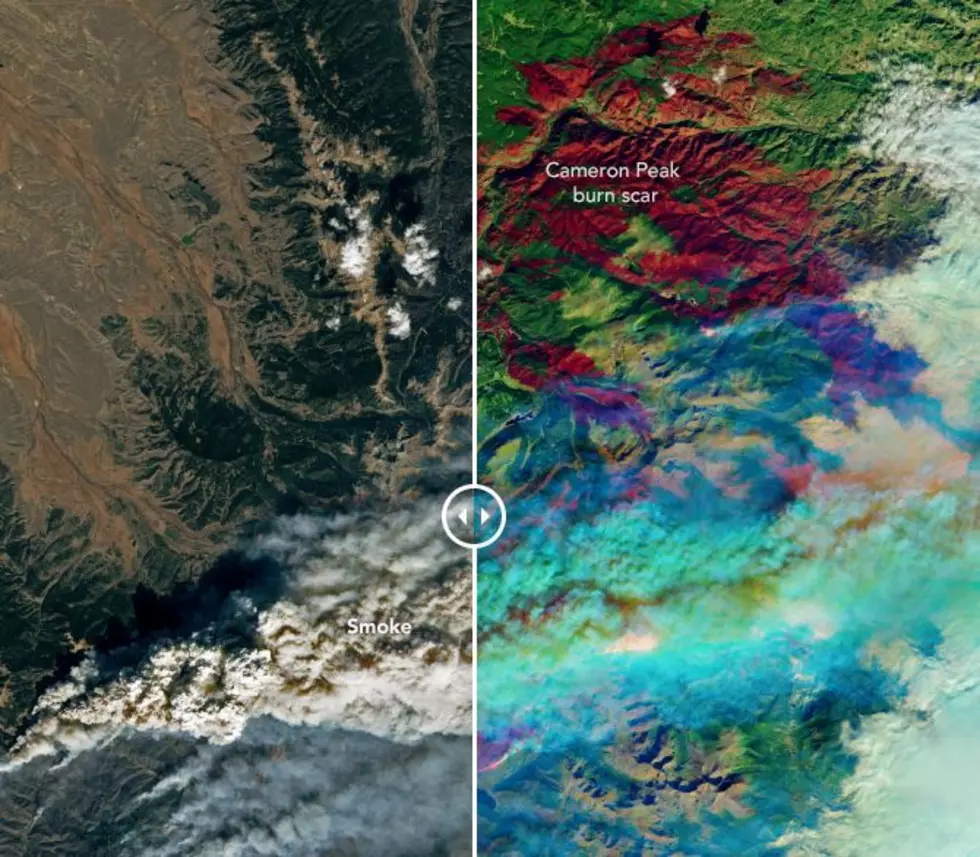
NASA images show the smoke and burn scars caused by Cameron Peak Fire, Colorado's largest fire, and East Troublesome Fire, Colorado's second-largest fire, from space.
Wildfire Smoke - October 22, 2020

Together, both fires have burned over 400,000 acres.
Wildfire Burn Scars - October 22, 2020


Enter your number to get our free mobile app
How The 2020 Cameron Peak Fire Has Grown
More From 99.9 The Point