

Colorado’s Gold Mountain Fire: Week 4 Brings New Progress
Nearly four weeks after the Gold Mountain Fire ignited northeast of Ouray, firefighters are gaining the upper hand. As of the morning of August 1, the Rocky Mountain Complex Incident Management Team 1 reports the wildfire has burned 39,506 acres, is 67% contained, and has 430 personnel assigned to the incident.
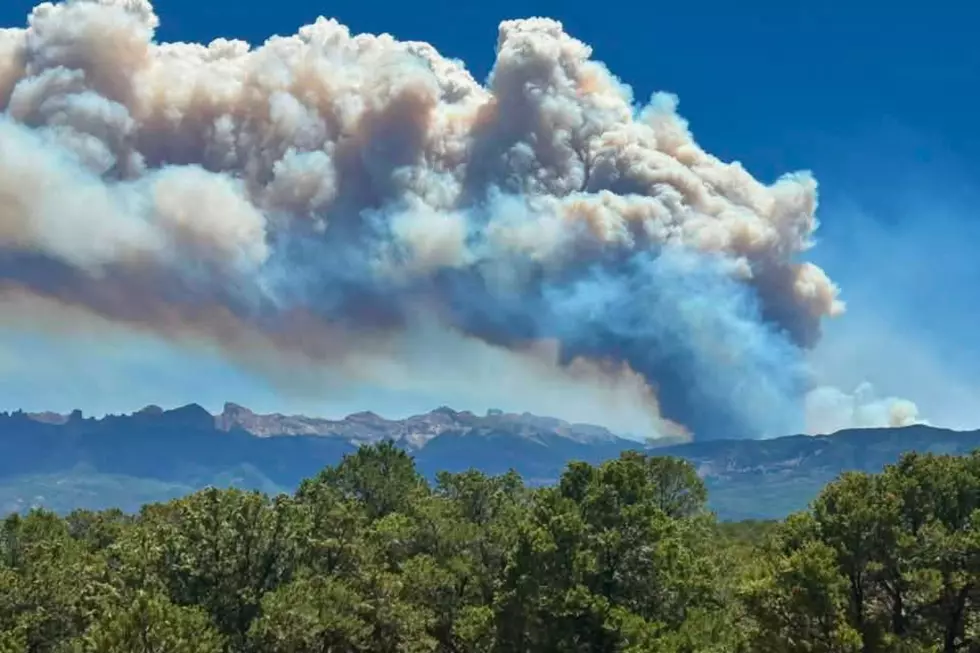
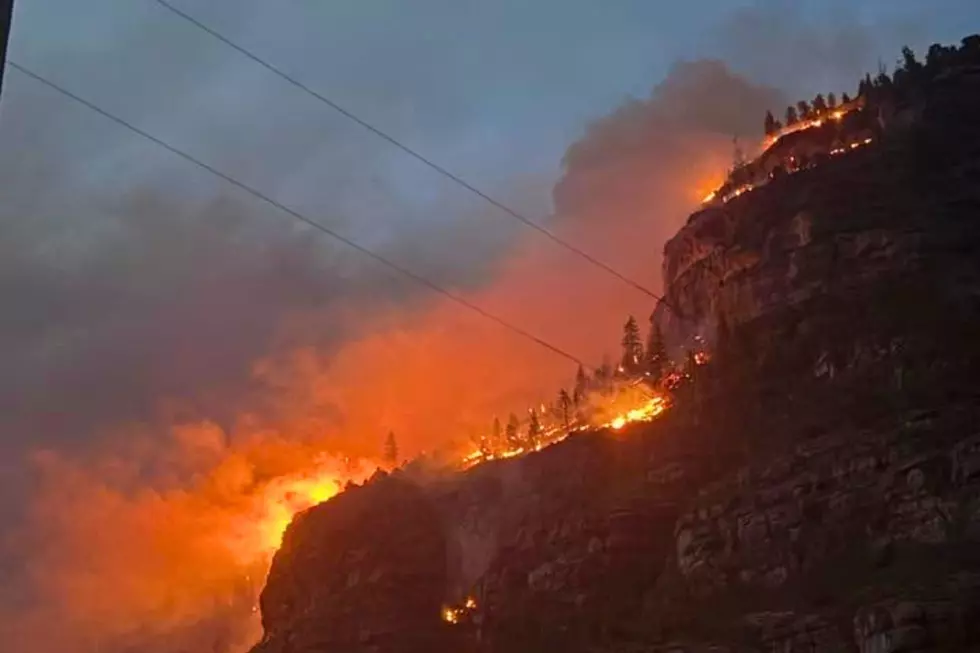
The Gold Mountain Fire has tested firefighters for weeks, but recent photos show the determination and teamwork behind the growing containment numbers.
LOOK: Western Colorado's Gold Mountain Fire: Week 4 In Photos
Gallery Credit: Wesley Adams

What Western Colorado Needs to Know After Four Weeks
Read More: Colorado's Wildfire Burn Scars May Face Flash Flood Danger
The Gold Mountain Fire is far from over, but conditions have improved considerably since late June. Firefighters are mopping up hot spots, reinforcing containment lines, and keeping a close eye on thunderstorms that could trigger flash flooding or cause new flare-ups. Although containment continues to increase, officials stress that the fire is not out.
Evacuation Orders Continue to Ease Around the Fire
The good news this week is that Ouray County has reduced several mandatory evacuation areas to lower alert levels. Zone 300 is now under pre-evacuation status, while zones 25 and 30 are reduced to voluntary evacuation with local traffic access only. In Gunnison County, Zones 32 and 33 also remain under voluntary evacuation status.
Officials continue to evaluate evacuation levels daily, based on fire behavior and weather conditions. See detailed maps of the evacuation zones here.
Roads, Trails, and Recreation Areas Remain Off-Limits
Read More: Grand Junction Drivers: Colorado Mudslides to Watch For
As containment improves, the public must continue to stay away from portions of Owl Creek Pass Road, several Forest Service roads around Gold Mountain Fire, trailheads, dispersed camping areas, and recreation sites near Silver Jack Reservoir, and West Fork Cimarron. Monsoon rains in the area of the Golf Mountain burn scar will likely cause flash flooding. For Gold Mountain Fire updates, the Gold Mountain Fire hotline is staffed daily from 8:00 a.m. to 8:00 p.m. at 970-355-3286.
LOOKING BACK: Photos From the Early Days of Colorado's Gold Mountain Fire
UP NEXT: Listeners Sent In These Photos of Colorado's Gold Mountain Fire
Gallery Credit: Wesley Adams

