
Flash Flood Watch in Effect All Weekend for Northern Colorado
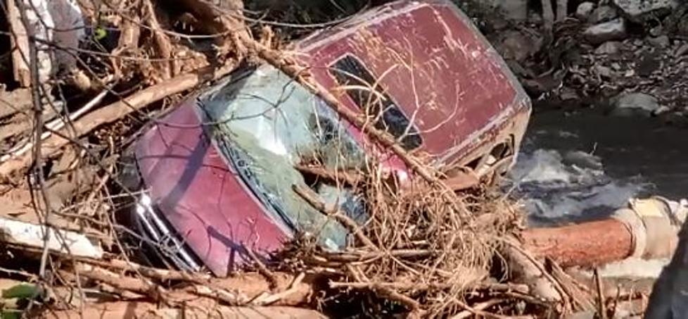
As we enter the weekend, you'll notice that the rain in Northern Colorado still hasn't let up and is starting to create standing water in parts of Larimer and Weld Counties. The heavy rain we experienced throughout the day Friday will continue for the most part this weekend with the changeover to snow in many parts of the area Saturday night into Sunday.
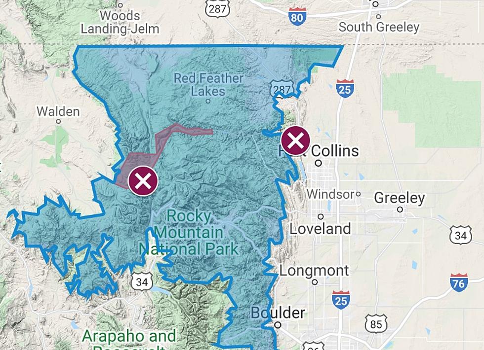
The crazy weather this week has prompted a Flash Flood Watch which will be in effect until 9pm Sunday.
According to ABC 7-Denver, by lunchtime stronger storms look to develop east of I-25 stretching along I-70 and I-76 from Greeley down towards Limon. Areas in the high country are under winter watches and warnings through the weekend as 1 to 2 feet of snowfall is possible in the north central mountains above 9,000 feet.
The possibility exists to see close to three inches of snow in the Fort Collins-Greeley area by the time the storm winds down on Sunday, with highs only in the 40's and lows in the 20's during the day.
More From 99.9 The Point