
NWS: Here’s When and How Much Driving Will Be Impacted During Coming Snowstorm
This week's snowstorm could drop multiple feet of snow on the Fort Collins area. As we prepare for the storm's arrival, we want to know, when will it be the worst for travel? Here's what the National Weather Service says.
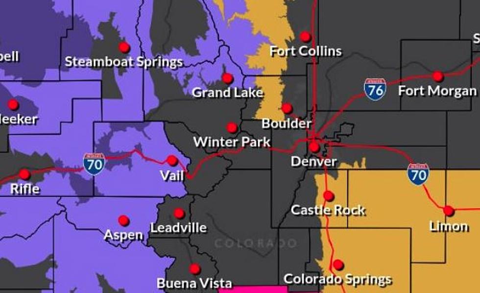
A mix of rain and snow is expected to start on Wednesday in the Fort Collins area, with snow continuing through the weekend. While we keep hearing about how much snow we could get, many of us are wondering how driving conditions will be affected and when we should plan to be maybe a little bit 'snowed in.'

The short answer is, things will likely be a little messy by Friday and into Saturday.
According to the National Weather Service's Twitter, 'impacts for travel and infrastructure' during the 'potentially significant storm' will really start on Thursday in the Fort Collins area at a 'limited amount.'
On Friday, the Fort Collins area will reach an 'elevated' level of impact, and the worst is expected on Saturday and Sunday, which the National Weather Service warns will be 'significant.' On Monday, impacts return to 'limited.'
The National Weather Service is reporting little to no accumulation expected on Wednesday, and rain and snow will continue to mix through Thursday. Friday is when snow is most likely to begin and continue through the weekend, with the 'brunt of the storm expected to hit on Saturday,' KDVR's Matt Makens said. The storm has the potential to drop two feet of snow on the Front Range, but it's still uncertain how much we will get.
UPDATE: 3/10/21
5 Most Dangerous Intersections in Fort Collins
More From 99.9 The Point