
Near 80 Degrees Monday 1-3 Inches Of Snow By Thursday In Fort Collins
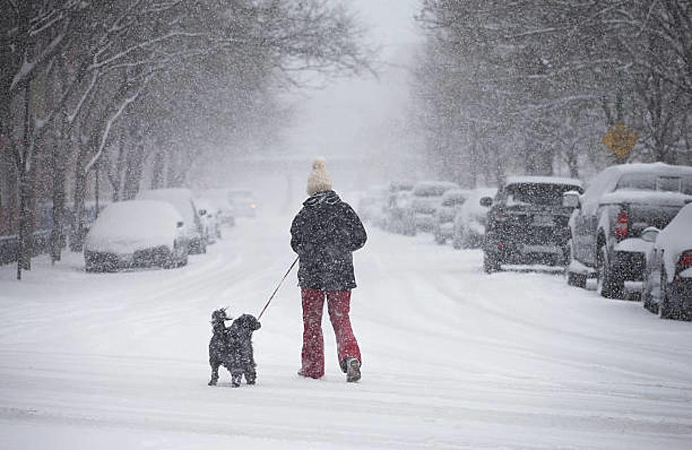
It was shorts weather over the weekend and into Monday with record-breaking or near record-breaking temperatures all along the Front Range. There is about to be a pretty big shift in the weather today through Wednesday and that shift looks to be bringing some snow back onto the ground by Thursday morning's commute.
According to the National Weather Service in Denver, they've upgraded things to issuing a Winter Storm Warning for the Denver Metro area for Wednesday as snow is supposed to be falling through Thursday morning.
Now judging by this model, it looks like most of the more significant snowfall is going to be south and west of us here in Northern Colorado but this is Colorado in March so anything can happen.
The fact that we're more than likely going to see some snow on the ground just a day or two after wearing shorts outside is simply par for course when it comes to Spring around these parts. If you're new her, welcome to spring in Colorado.
We need the snow, especially in the mountains as the snowpack in many areas is still a little below average for the season so this should help.
Once we get through the early part of the day on Thursday, things calm down and slowly but surely warm back up with sunshine and temps back to around 60 degrees by the weekend.
10 Things You Should Never Say to Someone From Fort Collins
Northern Colorado Town Elevations

More From 99.9 The Point