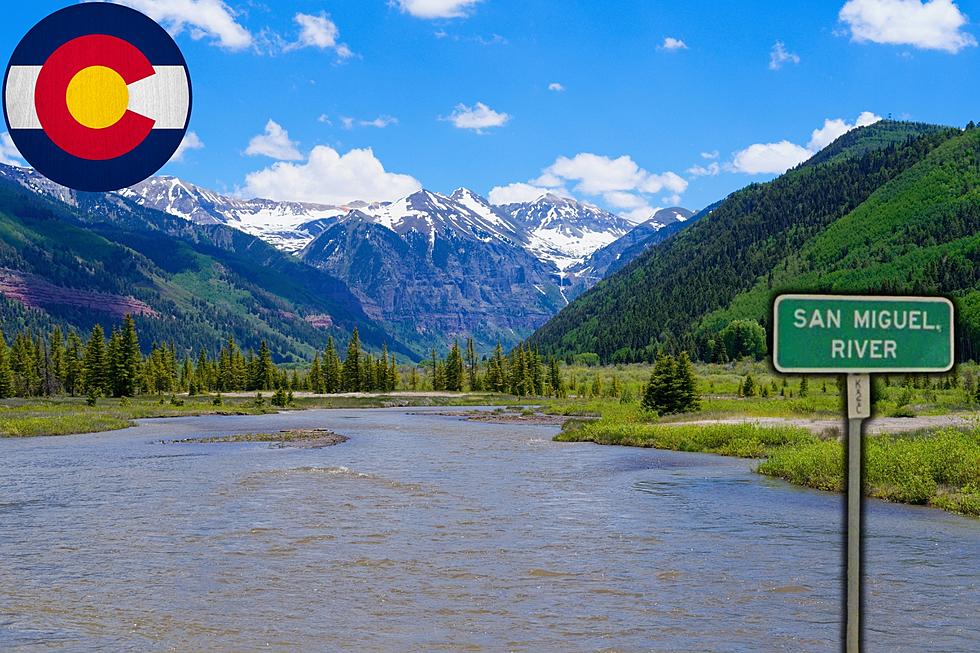
Colorado’s Best-Kept Secret: 12 Facts About The San Miguel River
The snowmelt from high on Ajax Peak in the San Juans flows through Ingram and Bridal Vail Creeks to reach the headwaters of Colorado's San Miguel River.
This river is one of Western Colorado's favorite places to float, fish, and camp from July to September each year. Keep going to read twelve cool facts you may not have known about the San Miguel River, and explore it yourself this summer.

Where is Colorado's San Miguel River?
The San Miguel River begins south of Telluride, Colorado, and flows northwest along the southern edge of the Uncompahgre Plateau into Montrose County. The San Miguel River is a tributary of the Dolores River in Western Colorado. It relies heavily upon the water from the Dolores River to make it through the spring before the summer rains arrive.
How Long is Colorado's San Miguel River?
The San Miguel River travels 81 miles from the San Juan Mountains to Western Montrose County, where it joins with the Dolores River near Colorado's historic Hanging Flume. The San Miguel is a standing class two river, with class three rapids during the late summer when the water is higher.
Pristine Camping Along the San Miguel River
Most of the San Miguel River lands are managed by the USDA Forest Service and BLM. Towns in the watershed include Nucla, Naturita, Norwood, Telluride, Mountain Village, Ophir, Placerville, and Sawpit.
Camping along the San Miguel River includes minimum impact pricing, which helps maintain some of the best campsites anywhere on the Western Slope.
KEEP GOING: What is the Longest River in Colorado?
Gallery Credit: Wes Adams
MORE: Thirteen Cool Facts About Colorado’s Uncompahgre River
Gallery Credit: Wesley Adams
LOOK: Photos: Drive the River Route to Moab, Utah
Gallery Credit: Wes Adams


