
Two Fall-Like Systems Set To Hit Colorado And Bring Some Snow
Well, WE are not going to be seeing any of the snow but we are going to see a pretty significant drop in temperatures. The first and the smaller of the two systems is set to hit Thursday night into Friday. Thursday's highs are expected to be in the low to mid 90's, on Friday...we'll barely be above 70 which is just fine with me personally.
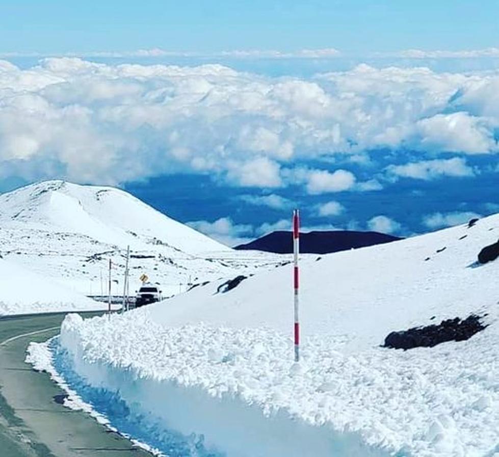
According to some fancy weather models from 9 News While we may feel a cool down on Friday, the bigger front is set to roll through the Rocky Mountains on Monday into Tuesday where we could see temperatures in the 60's for us and overnight temps dropping into the 30's and 40's with even more snow in the forecast for the mountains. Something to think about, especially if you have any plans to be traveling over any of the passes in the next several days.
Between these two fronts, we will still be warm with highs in the 80's and 90's but...relief is in sight and so is full on fall weather. So even though I'm personally ready for some hoodie weather, I'm going to take in these final days of summer the best I can because I know that soon I'll be shoveling my driveway...especially since my house faces North.
AJ Battalio/TSM

More From 99.9 The Point