
Winter Storm Watch Officially Issued for Northern Colorado
Things are starting to get real with the upcoming snowstorm that will be impacting much of Colorado this weekend. The National Weather Service has officially issued a Winter Storm Watch as of 2:40 p.m. on Wednesday, March 10.
The Winter Storm Watch is in effect from late Friday, March 13, through late Sunday, March 14. The Winter Storm Watch is forecasting heavy snow, with accumulations of 12 to 20 inches possible. Wind gusts are also possible up to 35 mph.

Impacted areas included in the Winter Storm Watch include Fort Collins, Loveland, Greeley, Windsor, Nunn, Eaton, Fort Lupton and more. To see the full Winter Storm Watch, click HERE.
Both CDOT and Colorado State Patrol are urging residents not to travel this weekend unless absolutely necessary or in the event of an emergency. Earlier forecasts have predicted a possibility of up to four feet of snow accumulation in some areas of Northern Colorado.
Until the winter storm passes, we can really only speculate as to how much snow we are likely to get in Northern Colorado.
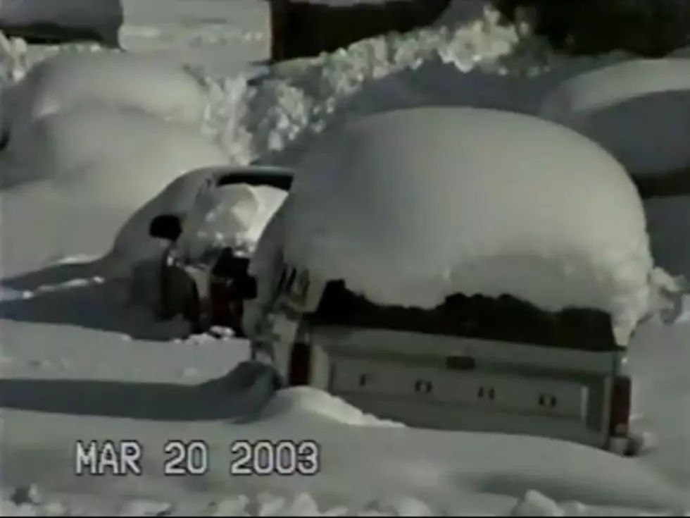
The winter storm could be the worst to hit Colorado since December of 2006, when about a foot and a half of snow stranded people in their neighborhoods for three days.
A March 2003 storm, meanwhile, buried the front range in 2-4 feet of snow.
Source: The National Weather Service - Denver - Boulder Office
PHOTOS: Worst Northern Colorado Crashes In Last 5 Years

More From 99.9 The Point