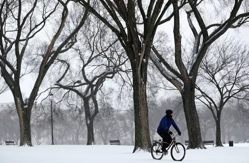
Snow Returns to Portions of Southeast Wyoming Wednesday
A Winter Storm Watch is in effect for the Snowy Range from 6 a.m. Wednesday to noon Thursday and for the Southern Laramie Range from 3 p.m. Wednesday to noon Thursday.
Snowfall accumulations of 10 to 13 inches with localized amounts up to 16 inches are possible for the Snowy Range, with 5 to 8 inches and localized amounts up to 11 inches for the Southern Laramie Range.
URGENT - WINTER WEATHER MESSAGE
National Weather Service Cheyenne WY
200 AM MDT Tue May 1 2018

...ACCUMULATING SNOW RETURNS TO ELEVATIONS ABOVE 8000 FEET
WEDNESDAY THROUGH THURSDAY MORNING...

WYZ114-020000-
/O.NEW.KCYS.WS.A.0009.180502T1200Z-180503T1800Z/
Snowy Range-
Including the cities of Centennial and Albany
200 AM MDT Tue May 1 2018

...WINTER STORM WATCH IN EFFECT FROM WEDNESDAY MORNING THROUGH
THURSDAY MORNING...

* WHAT...Heavy snow possible. Total snow accumulations of 10 to 13
  inches, with localized amounts up to 16 inches, are possible.

* WHERE...Snowy Range above 8000 feet.

* WHEN...From Wednesday morning through Thursday morning.

* ADDITIONAL DETAILS...Plan on difficult travel conditions,
  including during the evening commute on Wednesday. Significant
  reductions in visibility are possible.

PRECAUTIONARY/PREPAREDNESS ACTIONS...

A Winter Storm Watch means there is potential for significant
snow accumulations that may impact travel. Continue to monitor
the latest forecasts.

&&

$$
URGENT - WINTER WEATHER MESSAGE
National Weather Service Cheyenne WY
200 AM MDT Tue May 1 2018

...ACCUMULATING SNOW RETURNS TO ELEVATIONS ABOVE 8000 FEET
WEDNESDAY THROUGH THURSDAY MORNING...

WYZ116-020000-
/O.NEW.KCYS.WS.A.0009.180502T2100Z-180503T1800Z/
South Laramie Range-
Including the cities of Buford, Pumpkin Vine, and Vedauwoo
200 AM MDT Tue May 1 2018

...WINTER STORM WATCH IN EFFECT FROM WEDNESDAY AFTERNOON THROUGH
THURSDAY MORNING...

* WHAT...Heavy wet snow possible. Total wet snow accumulations of
  5 to 8 inches, with localized amounts up to 11 inches, are
  possible.

* WHERE...Interstate 80 Summit between mile markers 315 and 345.

* WHEN...From Wednesday afternoon through Thursday morning.

* ADDITIONAL DETAILS...Plan on difficult travel conditions,
  including during the morning commute on Thursday. Significant
  reductions in visibility are possible.

PRECAUTIONARY/PREPAREDNESS ACTIONS...

A Winter Storm Watch means there is potential for significant
snow accumulations that may impact travel. Continue to monitor
the latest forecasts.

&&

$$
More From 99.9 The Point


